

Key Takeaways
Redistricting & Gerrymandering
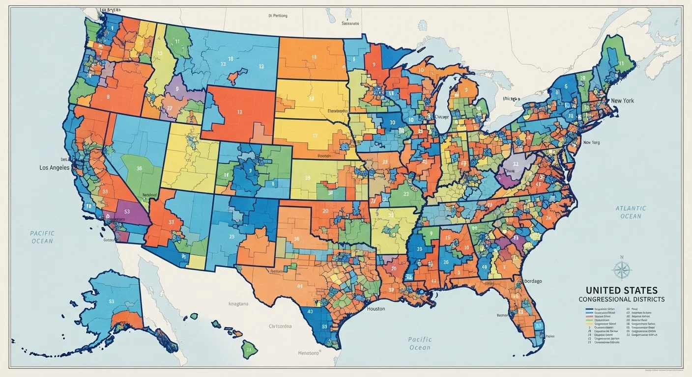
Redistricting is the process of redrawing the boundaries of congressional and legislative districts, required every ten years after the U.S. Census counts the population. Gerrymandering refers to manipulating those boundaries to give one political party or group an unfair electoral advantage. The term dates to 1812, when Massachusetts Governor Elbridge Gerry signed a law creating a strangely shaped district said to resemble a salamander.
Gerrymandering can take two main forms: 'packing,' which concentrates opposing voters into as few districts as possible, and 'cracking,' which splits opposition voters across multiple districts so they cannot form a majority in any of them.
The Census Triggers Everything
Every ten years, the federal government conducts a Census - a count of every person living in the United States. The results directly determine how many seats in the U.S. House of Representatives each state receives, a process called apportionment. States that gain population may pick up additional seats; those that lose residents may lose representation.
Once apportionment is settled, states must draw new district maps to reflect those changes. This is redistricting - and it happens at every level, from congressional seats to state legislative chambers. The maps drawn after each Census typically govern elections for the entire following decade, meaning decisions made in a single year can shape political power for ten years or more.
Because state legislatures control most redistricting processes, who wins state-level elections in a Census year - 2020, 2030, and so on - carries outsized consequences. As the role of state legislatures extends well beyond redistricting, these institutions hold more power over daily American life than many voters realize.
How Gerrymandering Works - and Why It's So Effective
The mechanics of gerrymandering are straightforward, even if the maps it produces look anything but. Mapmakers use two core techniques to entrench their party's advantage.
- Packing: Cramming as many opposition voters as possible into a small number of districts. Those voters win those seats by enormous margins - but their excess votes are effectively wasted.
- Cracking: Splitting opposition voters across multiple districts so they never form a majority in any single one, neutralizing their collective influence.
Used together, these strategies can allow a party that wins, say, 55 percent of the statewide vote to capture 70 percent or more of the seats. The result is a congressional delegation that does not reflect the actual distribution of voter preferences in the state.
435
Total U.S. House seats reapportioned after each Census
The U.S. Constitution fixes House membership at 435 seats, distributed among states in proportion to population as measured by the decennial Census.
~13
States using independent redistricting commissions
According to the National Conference of State Legislatures, more than a dozen states have adopted some form of independent or bipartisan commission to draw legislative maps.
10 years
How long a single redistricting map governs elections
Maps drawn after each Census remain in effect until the next round of redistricting, meaning one year's political decisions shape up to five consecutive election cycles.
Geography also plays a natural role. Urban voters tend to cluster in cities, which can produce some degree of natural packing without deliberate manipulation - a phenomenon sometimes called the efficiency gap, a metric academics use to measure how evenly votes are distributed across districts.
Who Draws the Lines - and Who Can Challenge Them
In the majority of U.S. states, the state legislature draws both congressional and state legislative maps, subject to the governor's signature or veto. This arrangement gives the party in power a direct hand in designing the electoral landscape they will compete in - an obvious conflict of interest that critics have challenged for decades.
As an alternative, more than a dozen states have adopted independent redistricting commissions - bodies composed of citizens, retired judges, or nonpartisan officials who draw maps without direct legislative involvement. California, Michigan, Colorado, and Arizona are among the states that have moved toward this model, often through voter-approved ballot initiatives.
Redistricting Applies to State Legislatures Too
While congressional redistricting draws the most national attention, states simultaneously redraw their own legislative district maps - for state senate and state house seats. These maps determine which party controls the chambers that pass laws on everything from taxation to education funding. In many respects, state legislative maps have a more direct impact on residents' daily lives than congressional maps do.
Federal courts serve as an important check. Maps that dilute the voting power of racial or language minorities can be challenged under the Voting Rights Act of 1965. Courts can order states to redraw maps that violate those protections. However, after the Supreme Court's 2019 ruling in Rucho v. Common Cause, purely partisan gerrymandering claims largely fall to state courts operating under their own constitutions - and outcomes vary widely by state.
The intersection of geography and political identity means redistricting also shapes the rural-urban divide in representation. For a deeper look at how place shapes political power, see our piece on how rural and urban America diverge in values and opportunity.
Why This Shapes Every Election That Follows
The maps produced after each Census don't just affect the next election - they typically govern House races for the entire decade. That means a gerrymandered map can effectively predetermine the outcome of five consecutive election cycles, including both presidential-year and midterm contests. For a breakdown of how those two types of elections differ in stakes and turnout, see midterm elections vs. presidential elections.
For ordinary voters, this has concrete implications. If you live in a safe district - one drawn so heavily in favor of one party that the general election is a foregone conclusion - your most meaningful vote may be in a primary, where a smaller, more ideologically motivated electorate tends to dominate. Critics argue this dynamic contributes to political polarization by rewarding candidates who appeal to the base rather than to a broader electorate.
Competitive districts, by contrast, push candidates toward the political center and give more voters a meaningful choice in November. Understanding which kind of district you live in - and how it came to be drawn that way - is a foundational piece of civic literacy.